
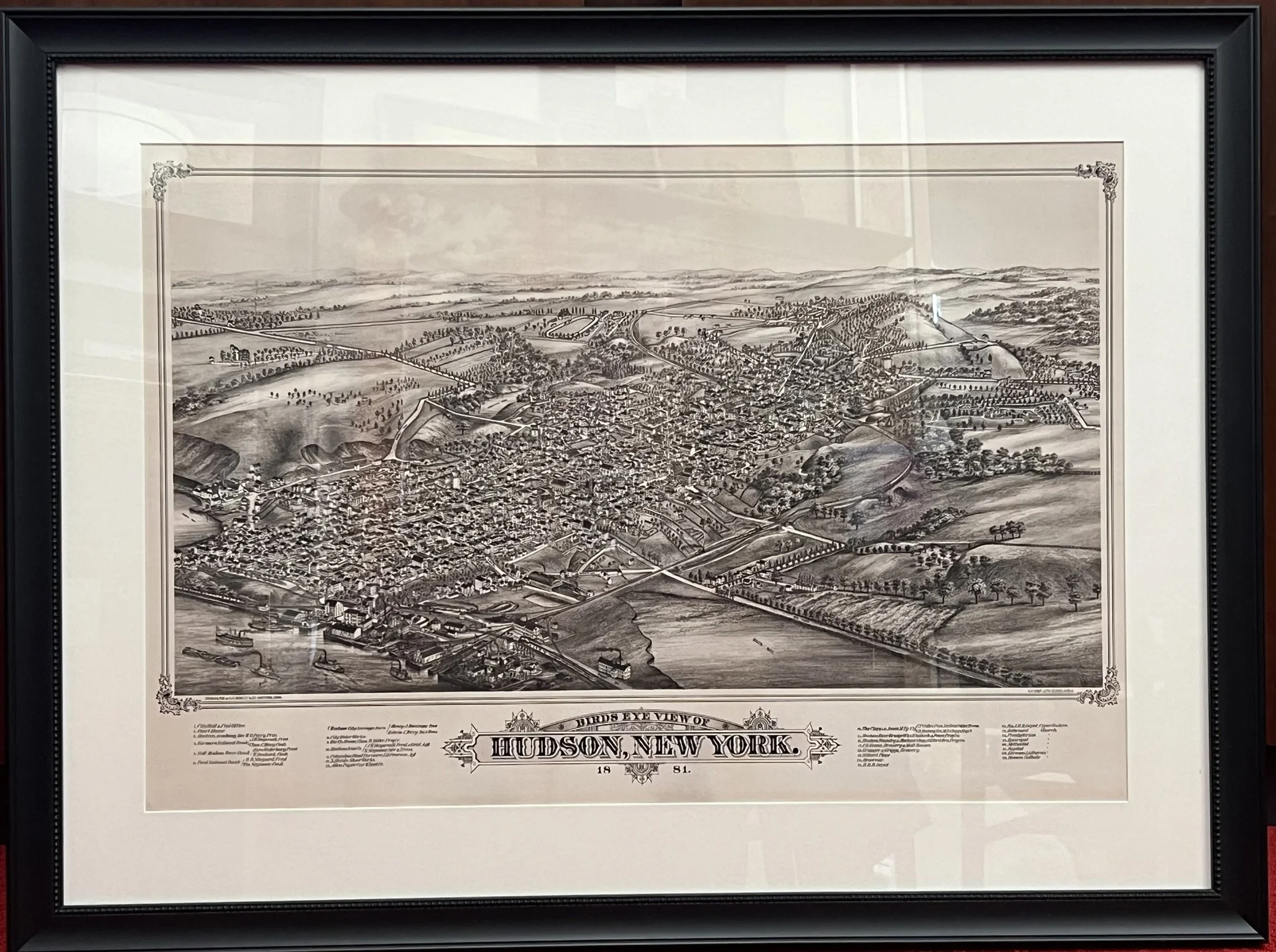
1881 Birds Eye View Map (Framed) Limited Edition
$600.00
Archival print (4o′”x 30″) with conservation glass and museum quality framing. This item is available at the Hudson Area Library but cannot be shipped. The panoramic map was a popular cartographic form used to depict American towns in the late 19th and early 20th centuries. Known also as bird’s-eye views, perspective maps and aero views, these maps are non-photographic representations of towns portrayed as if viewed from above at an angle, not generally drawn to scale, and showing street layouts, individual buildings and landscape features, in perspective.
All proceeds to benefit the library’s History Room.
Quantity: